7/31/2026

Darwin Bench Circuit


July 26th, 2026


Scrambling up the stable talus below Keyhole Pass, filled with joy, I shout, “hello Sierras! it's been too long!” 


A few days earlier, my neighbor Karin invited me on a last minute backpacking trip. We have had some intention to meet in the Sierras for some years, and work accommodates, so I pack up and drive out to the east side. She plans to start from Onion Valley in a couple days with a group of friends that she has been backpacking with annually for many years. They are in the their 60s, so I know it’s going to be an easy pace, and I want to get my ya-yas out before joining them. 


Karin has told me about a circuit she did recently from North Lake, over Piute Pass, Alpine Col, out to Darwin Bench, then back Lamarck Col. Checking my Caltopo, that looks doable for me in a long day hike, so I drive up to North Lake in the dark to sleep in my car after cooking up a late dinner of Annie’s in a Bishop park. 


I wake up with my alarm at 630am, shovel down some granola, and hit the trail. My body is feeling smooth, so I move fast up the well built trail, feeling appreciation for the trail artisans and architects generations ago. My body loves to hike. I feel the stiffness of my left psoas and I have an insight that my biking everywhere at home probably does exacerbate my tight hip flexors. Walk more!


The forest gradually opens up as I near the pass. There’s an unmistakable feeling of approaching a broad pass… the pale air seems to thin further as the horizon delineates, washed out azul opening up above the wide parabola of granite… I like to imagine that there cannot possibly be anything else on the other side but divine void.


I crest Piute Pass at 845am, 2hrs after I left my car. 2,400ft elevation gain, 5mi distance. Good pace. It’s surprisingly calm for the W wind I saw in the forecast. The air is clear. High clouds are pushing overhead from the south. That's fortunate as I was about to start regretting skipping sunscreen on my legs. 


I traverse southwest towards Muriel Lake, then leave the trail to skirt the lake. I’ve hatched a plan to try a somewhat less common route, parallel to Alpine Col, through Keyhole Pass. I figure I can try some unconventional options while I’m solo, unencumbered by a pack, and it’s still early in the day. I’m feeling energetic—I giggle in delight as I string together 20 or 30 rock hops along Muriel's edge in a smooth run.


Climbing hard again into Lost Lakes Basin, I scoop up my first drink from a rivulet in the talus. To stay light, I’m not carrying water today. Instead, I have my soft bladder and a filter and I drink deeply at the next source when I notice thirst. I marvel at the vista of an intermediate alpine lake, barely contained by its terminal moraine, blending almost seamlessly into the horizon with the sky above.


About 1045am I crest the ridge and look down into the NE finger of Darwin Basin. I’m 4 hours in, 3,600ft up, and maybe 7-8mi along, what seems like almost halfway around the loop, which is now seeming easily within reach. Keyhole Pass is fun, slipping through an actual hula hoop sized opening, with a short, proper Class 3, 10ft downclimb (in my direction).


Rock Fringe.


Halfway down to the other side, I think I hear voices for an instant, and then minutes later realize I wasn’t just hearing things when I spot a party of two also descending 100ft away and just above me. We shout and I’m surprised to learn they’ve just come through Keyhole too, having camped above Piute Pass the night before. They see I don’t have a pack and ask if I’m doing their loop in a day. They look smart and light themselves for two nights out, but they’re impressed hearing I haven’t done this route before. I feel a little surge of pride and show off a bit by more rock hoping on my way down to the lake. I overcommit slightly on one step and my ankle speaks up gently… I take that as a request to stop showing off (ok ok). 


Nearing noon, I'm starting to feel a bit tired and wishing for a lunch stop but I'd really like to get to the view at Darwin bench before plopping down. I throw back a handful of trail mix and press on. I'm guessing I’m transitioning into ketosis around this point since I’m at about 5hrs and maybe 3,000 calories burned. Breakfast was maybe 600 calories, and I hear there’s about 500g of glycogen (2,000 calories) available in my liver and muscles. nota bene: i am not qualified to talk about nutrition.


Rounding the last lake, a sheer granite slab into the water… oops maybe i picked the wrong side of the lake? ah no, there's a way above by scrambling up 60ft…


Darwin Bench doesn't disappoint. Who wouldn't want to look out onto the natural grandeur of Evolution Basin from a seat on Darwin’s bench? Feels grand, and peaceful, and timeless… timeful?


Well, I suppose I’m sitting a bit above the bench proper. But it’s a better view here. The forecasted W wind has picked up. Little cumies are kicking off of The Hermit… I hope to fly here one day. 


My stale peanut butter and honey sandwich hits good (honey from Karin's bees!). I’m definitely not taking in enough food to match my output, so I’m kinda just buoying my blood sugar with snacks to feel better from this point on. I pull off my shoes and sprawl out for about 45min.


Ok, got to keep moving… I swing up the lake-laced trail towards Lamarck Col. oooh but such a inviting grassy glade by the wayside… I lay down flat for another 10min.


I run into a dude rolling down the trail. He recognizes me from the parking lot this morning… he’s come over the way I’m thinking about going back. His name is Max. Turns out he has been working up here on SNYLF (sierra nevada yellow legged frog) rehabilitation and is back out for several days after a resupply break. And he knows Karin! who had been volunteering on a SNYLF project in McGee Basin the week beforehand. And he knew from her that I was coming up to meet her later! This kinda of coincidence seems to happen with uncanny frequency up here.


Unimaginable aquamarine of the last lake… with the sky, two vast parabolae cut out of granite paper. I imagine, as I have in the past, somehow bringing a light sailboat up here, perhaps a Laser, how absurd it would be, how dreamy, to play in these waters that way. 


At bottom of the climb to Lamarck Col, I'm feeling low so I eat the last few handfulls of my trail mix. I’ve been hiking with an tiny old fanny pack that I keep in my Prius, the kind that was designed to hold a CD Walkman, complete with slip pockets for a few CDs. As a result, I haven’t been carrying as much food as I probably should have. But I still have a thing of shotblok gummies left. 


I’ve been contemplating another route variation, a much less frequented pass parallel to Lamarck Col called Darwin-Schober Col that would dump me into a drainage heading down to Lake Sabrina, which is a couple miles of road from my car at North Lake, but I figure it’s a weekend and I can probably hitch that last part. My topo shows a trail out to meet the bottom of this drainage, and my downloaded satellite imagery shows mixed granite and sparse vegetation… a plausibly straightforward route down. The last leg downhill. And it’s only 245pm now. I tell myself I’ll decide based on how I feel at the turnoff halfway up to the pass.


Uphill! My happy place. I'm feeling invigorated and decide to cut off-trail towards the unconventional pass. But really who am i kidding? Was i really going to give myself the choice to pass up this idea once i had conceived its possibility?


Buckwheats doing their hardy thing.


Darwin-Schober Col is easy. I’m up and over in 45min and I drop down the sandy slope on the other side. The looseness would be unpleasant on the way up, but descending it is kinda cushioning. 


Down 1,000ft, at Schober lakes, my low back speaks up… I’ve been so attending to lengthening my psoas that I’ve forgotten about my core engagement. I lay down on some granite and fold my knees to my chest for some minutes. That does the trick. Core from here on out. 


Five lakes and another 1,000ft down. I pop a gummy every once in a while. I’ve been moving quickly but things are starting to look thicker ahead. One thing I didn’t look up yesterday was beta on the condition of use trails in this drainage. Once, through a narrowing, I catch a hint of a cairn, but apparently there are in fact no use trails here. Cross country (off trail) is usually predictable, pleasant, and rewarding in the alpine Sierras, but I’ve been away too long to remember how thick it can get in certain areas below about 11,000ft. And now I’m in the thick, and the only way out is through.


I’m navigating between cliff-outs on one hand and aspen/willow/currant thickets on the other… no good choices. I would be happier if the currants were ripe, but it's too early… I only snag one sweet one on my way past. The least dense options seem to be cutting under headwalls where sometimes the debris flow has cleared underbrush a bit. At one point I'm rappelling backwards down a slope by hanging onto consecutive aspen branches. 


The adrenaline of route finding through thickets has my energy back up. But I keep second guessing my route decisions.. am i prolonging my pain trying to optimize for less? I thought I was a decent route finder!


I find a series of steep benches and manage to descend them via downclimb. 1,000ft over with, 600ft to go to the trail on the shore of Lake Sabrina. Surely it should get better now. But the talus field I was aiming for is actually overgrown in low aspen thickets as I near. The aspen are somehow growing through the talus field... i don't understand. Where is the soil? water retention? I plunge through, experiencing what Kim Stanley Robinson meant when he found himself horizontal during bushwhacking. 


I'm gingerly sliding down a chute overgrown with willows, branches supporting me under my feet and my sacrum, between my legs. yeehaw! My view disappears as the willows envelop overhead. no no no! i will be here forever if this continues. But I finally slide out into the bare patch I was aiming for from above. Thank goodness at least this is downhill. 


I almost crash past the trail... you call that a trail? jeez louise it's overgrown with aspen thicket nearly as badly as the talus chute I just tumbled down. But it’s there and I’m grateful to follow it. Another 20 minutes hauling, and finally, the lake Sabrina parking lot. 


I look back and breathe, relieved and exhausted. 


A young dude walks over to say hi. Roo from Berkeley. I give them some trailhead info (don’t go the way I just came from!). I consider asking them for some food but decide against it... they’re about to head into the backcountry. 


But I do raid the next bear bin I see down the road… half eaten pizzas, coffee drinks, burgers... come on people, this is trash. ah, but in the back, a 2lb zipped bag of Kirkland Extra Fancy salted cashews. I grab a big handful and close it all back up. I toss them back—exactly what i need—salty calories. Now I’m thinking about the kombucha that’s in my car.


Two more miles of pavement pounding back up to North lake… it’s late now and there aren’t cars going up. The beautiful dusk light helps distract me from my tiredness. And at this point, I kinda want to walk the whole loop anyways.


830pm back at General Prius. Almost 14 hours car to car, and about 20 miles, maybe half of those off trail. But only 5,000ft up, and the same down. I down the kombucha and warm up my second favorite pasta sauce with some leftover fusilli. 


I'm looking forward to hitting up Great Basin Bakery in the morning, and a few days of chill backpacking.


Just had to push it a little further didn't I.


6/17/2026

Crossing the Golden Gate


This piece of writing of mine was published in the US paragliding magazine (USHPA Pilot). Link to the digital article here. It's about an exhilarating, unusual, magical, absurd day of flying at Mt Tm this spring during which I flew over the Golden Gate.
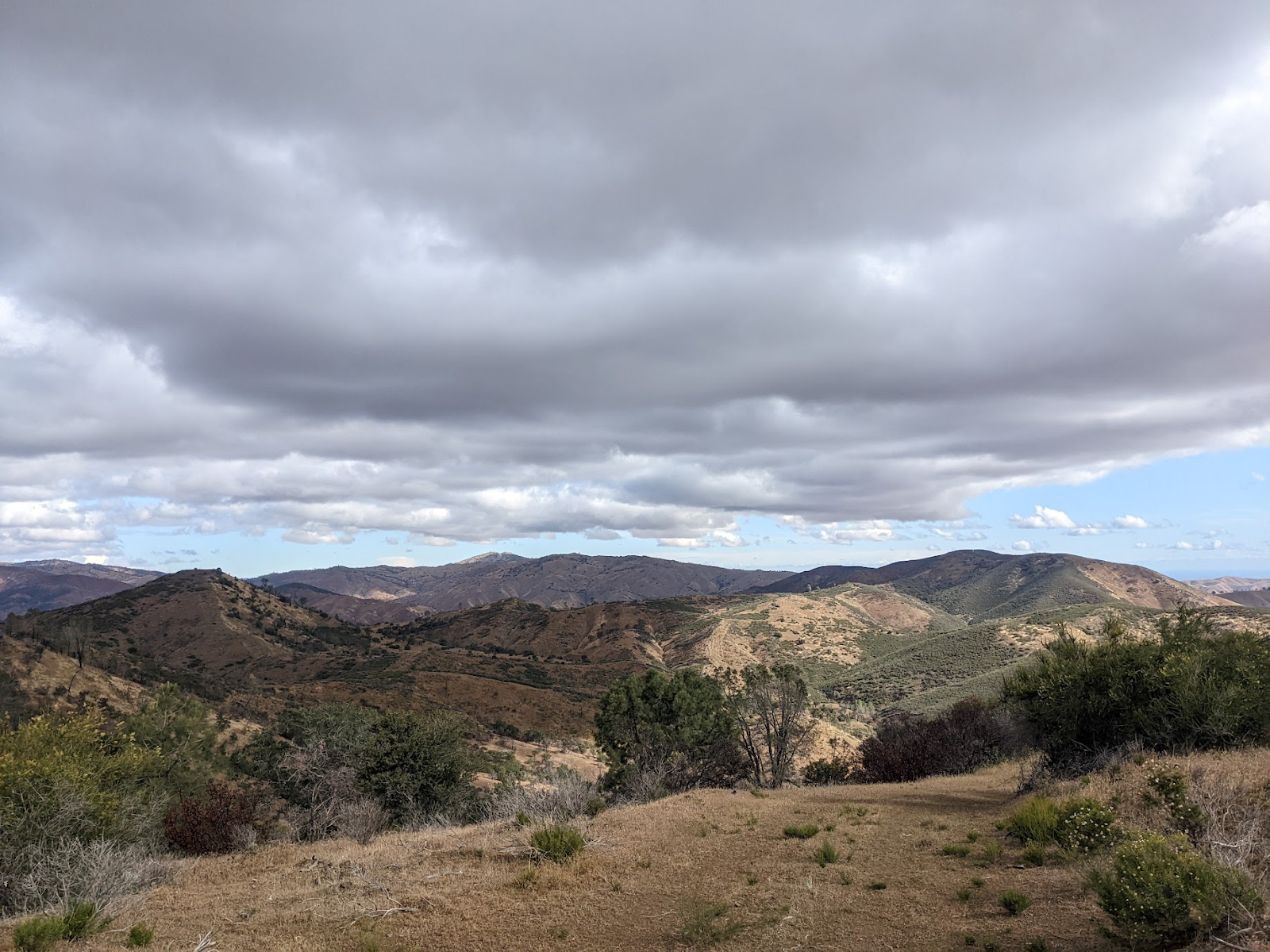
More typically, we fly the Inner Coast Ranges and the Sierras. There's an excellent article about that from a few years ago here.

The last couple years, I've been focusing on a style of flying called vol-biv (fly-camp en Français), where we fly into the backcountry, camp out, then continue flying through the mountains (or back home) the next day. A write up about that from a few years ago here. A couple months ago, I flew from Vacaville to Redding over a couple days. 

Over the 10 years I've dedicated to this craft, it's become a treasured form of expression in dance with the earth, terrain, atmosphere, weather.


In the article, I do a weird editorial thing of changing tense partway through the piece because I like how it shifts the tone of the narrative. The editor didn't like the switch (fair), but they did allow me to keep it in all present tense in print. They also wanted to include everyone's last names, which I find a bit clunky.

Apparently I missed a few things in my writeup! Jack actually launched first?! And Chris B was behind me for a short section heading south to Muir Beach!


Mount Tamalpais, Friday February 20th, 2026 

Carpooling to launch with Ben and Anna, it didn’t look like the day would live up to possibility… sustained high clouds from the early morning were shading the mountain and suppressing the usual morning cumies that signal a good day. But hype was high—lots of chatter the night before in the site chat meant a dozen plus pilots were headed to launch on a weekday with high expectations… We had just come off of a week of rain in the bay area, and there was promise of cold post frontal magic at Tam. I had been on the job too long the days before and was looking forward to getting outside for some spring flying.

Wind was light over the back when we pulled up to B launch at noon. Nobody was in a rush… Jeremy handed out cookies, Deryk had some awesome stories from flying in Patagonia. Julian Lemoine was in town!


Dan Z and a couple others had chosen A launch, which was wise with the light south winds. He launched first about 12:45, and Enes 15 minutes later, both showing the lift was sustainable. Anna pointed out a trail of short-lived wispies that seemed to be indicating the potential for a cloud street leading north.

Seeing this, Deryk and I geared up and launched about 1:15 into some local puffs up the slope, even though the ridge sock was still indicating light OTB. We pushed out and soon found a climb to 1000m (launch sits at 580m). Dan and Enes were already pushing north along Bolinas ridge and we chased after them… the high cirrus was still intact and shading everything, but the lift was good and the flying was delightful and fast, cumie to cumie.


launching from B launch on Bolinas ridge

[launching from B launch on Bolinas ridge] 


On a very cold day, Tam can work even when it’s completely shaded out because the relatively warm ocean acts as a reservoir of heat to undergird any bubbles from added solar heating. But because of the microclimate, it’s not common to leave the west ridge of the mountain. The farthest flight, by a few multiples, is an 80km trip Enes made to Napa county in 2023.

We caught up with Dan (Dan let us catch up with him?) and we continued north, enjoying the easy cloud street together. After 15km, the road ahead to the north was looking darker, so Enes cut east at Olema, heading for the potential for extending the flight inland. Dan and Deryk followed. I initially followed too but thought the way to the east looked more dark than I liked… the ridge back south to launch was starting to look sunnier, and I like closing triangles (already it would be a record triangle), so I headed back along the ridge.

I had just come back a week earlier from a few weeks of delicate flying in a wet Colombia and I was feeling tuned up to finding lifty lines. Most of the way back is a delightful no-turn thread through wispy cumulus. By this point, my hands are starting to get very cold despite my mittens and warm layers. I regret not putting hand warmers into my gloves. I shake out my arms below me and better recirculation slowly returns.

I see Anna and Ben headed north 200m below me (they had launched 1:45)… their timing was perfect because it turned out that the high clouds which had deterred us from continuing straight north dissipated shortly afterwards and the route cleared into a perfect cloud street that they rode 65km together all the way to Santa Rosa.

There’s now a blue gap opening between me and launch, and coming back towards the Stinson Beach LZ, I sink down to 200m and start thinking that my flight is likely ending. But low down here there’s a relatively stiff SW on-shore breeze that I use to soar a windward slope for a while until a slow climb comes through that I take back to cloudbase. 

The wind is lighter aloft, maybe 6-10kph, and I continue pushing south against it, thinking to make it to a top landing at A launch in order to complete the triangle and then relaunch to boat around for the rest of the afternoon. But then I find climbs to 1600m above launch and I decide to push south to extend the triangle with the intention of eventually turning around and gliding back to launch.

However, it keeps looking good ahead of me. Short-lived cumies form and decay rapidly like will-o’-the-wisps, tempting me along the way. So I press on.

Looking south towards San Francisco and the Golden Gate Bridge from above Mount Tamalpais at 1600m altitude. Short-lived cumies like will-o’-the-wisps, tempting me along the way. Short-lived cumies over Steep Ravine and Muir Beach.

[caption: Looking south towards San Francisco and the Golden Gate Bridge from above Mount Tamalpais at 1600m altitude. Short-lived cumies like will-o’-the-wisps, tempting me along the way. Short-lived cumies over Steep Ravine and Muir Beach.]


Soon I have glide to Muir Beach and figure that is a cool enough destination to abandon the triangle for, and it would be easy to thumb a lift back up to Panoramic Hwy for retrieve.


Above Muir Beach, I’m still high and it seems like Rodeo beach is possible… ok, that would be even cooler… I haven’t been there since middle school… let’s try for it!


At about this time, I start looking at the tip of the south tower of the Golden Gate bridge moving relative to the green of Crissy field behind it. It’s still far away, but in my field of view it’s inching down to expose slivers more green as I get closer—that means I will clear it on my current glide. 


Looking south towards San Francisco and the Golden Gate Bridge from above Muir Beach at 1300m altitude.

[caption: Looking south towards San Francisco and the Golden Gate Bridge from above Muir Beach at 1300m altitude.]


Crossing the Golden Gate Bridge is a joke that we make on Tam launch sometimes… I think Cooper may be the only one who actually takes it seriously as a possibility (check out his California Line). In any case, I have to credit his “Baker Beach, boys?” echoing in the back of my mind as I glided closer. 


But I’d really like more margin for that kind of crossing and I haven’t had any climb since one to 1300m just past Muir Beach. And there’s a slight headwind impacting my glide ratio.


I figure I’ll keep pushing and see what I encounter, knowing I have plenty of landing options all the way up to the north anchorage of the bridge, and an attempt will be useful for showing what might be possible in the future.


I get an airspace proximity warning alarm from my flight instrument… I hadn't thought to check airspace this direction beforehand... I take a quick closer look and see that SFO Class B goes down to 910m a few kilometers north of the gate. I’m on track to cut that corner closely, so I take a 360 to drop under it just beforehand, figuring I will try to catch another thermal underneath it later, over Hawk Hill.


Looking south towards San Francisco and the Golden Gate Bridge from above Rodeo Beach at 900m altitude.

[caption: Looking south towards San Francisco and the Golden Gate Bridge from above Rodeo Beach at 900m altitude.]


But there’s only some spotty zeros when I get there, and I decide to push on instead of searching and risking losing altitude. My parallax reading on the south tower still says I’m going to clear it with decent margin on my current glide. 


But the mile wide strait of the Golden Gate is not something to be trifled with… it could easily harbor sink or venturi, despite everything feeling steady at my current altitude. I start to feel a little stressed as I push out over the water. The consequences of messing up here are unbelievably high, both for myself and for the community, and the responsibility of that helps me focus on flying cleanly with presence.


There’s a bit of sightseeing GA traffic in the vicinity, but well below me. Gentle swells are rolling into the bay, but the ocean surface shows no indication of wind. I look back at Kirby Beach on the north shore and forward at the tiny strip of sea wall beach west of the bridge’s south anchorage, my two bailouts should something unexpected occur.


[caption: Crossing the Golden Gate in a paraglider, 500m altitude.]


The stress transmutes into a giddy relief as I cross the south tower with about 150m clearance (the tower heights themselves are 230m). I turn on my phone camera and take a jouncy video scored by unintelligible shrieks.


Crossing the south tower of the Golden Gate Bridge, 400m altitude

[caption: Crossing the south tower of the Golden Gate Bridge, 400m altitude.]


I cruise over to Crissy Field, elated, make a couple turns for photos, and land safely, barely believing what just happened.


Looking north at the Golden Gate Bridge from Crissy Field.

[caption: Looking north at the Golden Gate Bridge from Crissy Field.]


Landing at Crissy Field. Bill Carpenter.

[caption: Landing at Crissy Field. Bill Carpenter.]


I chat a bit with a guy visiting from Maine who captured my landing. Then I lie down on the grass for 15min before packing up, enjoying the high and re-living the day in memory.


The final glide ended up being 10km at 7.8:1. This graphic shows things roughly to-scale. Later, I calculate that the glide from the point where I made the decision to leave the north shore to the south anchorage bailout as about 4:1.


Elevation graphic of the flight path with a sketch of the Golden Gate Bridge to-scale.

[caption: Elevation graphic of the flight path with a sketch of the Golden Gate Bridge to-scale.]


It was an incredibly lucky day. Both for free flight conditions in general—to have such instability in the airmass combined with such calm wind (both the day before and the day after had strong, gusty winds)and for this crossing to have worked out as it did in regard to my glide ratio and altitude, and the airspace. Gate crossing aside, the day was easily the most successful day of free flight at Mount Tamalpais in terms of total distance flown by all pilots combined.


Screenshot of the flight track.

[caption: Screenshot of the flight track.]


XContest is the database where paraglider pilots upload tracklogs. This is the link to this flight.


3/19/2026

Bamboo Beam Loading Calculator

This is a calculator I made for evaluating the factor of safety on bamboo beams loaded in bending. My application is hanging people from bamboo beams with rope! aka shibari

You can use it to evaluate your setup or to decide on how large a bamboo beam to use.

Bamboo Beam Loading Calculator


11/19/2023

direct action

Perhaps the most empowering and satisfying project I give time to in my life is direct action. This last month has been heavy.


Direct action is also probably the most awesome (tied with paragliding). This day, I felt like I was a Rebel pilot in a Star Wars squadron. We had pod leaders even.


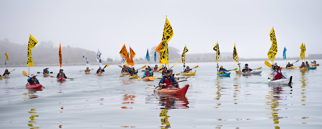
This was a climate action on kayaks (a kayaktion lol) against the Chevron refinery in Richmond. The group I organize with is Rich City Rays.


Here we locked down and blockaded the Wells Fargo corporate office on Market in SF:


Here, with dozens of other teams, we blockaded the vehicle checkpoints into APEC in SF:


This climate-oriented work happened alongside the killing that is happening in Palestine. All fights against power-over are connected.

I love the feeling of being on a team, working toward a valued goal. But so often I feel our objectives become fraught with compromise as we must work within the insidiousness of our dominant systems. Direct action feels uncomplicated.


I'm privileged to have a kind of money-work (respite from capitalism) where I can take time to exercise my 1st Amendment rights like this. And also, I've made choices around the priorities in my life so that I can give time to what I think matters most.

I sometimes forget that I have a need to be seen in how I choose to live my life. And I sometimes fear a judgement of my pride from others. And I feel persistently daunted by the feeling/connection/context distances of digital media. And also I forget that part of this work is widening the circle of capacity thru existing links of personal trust—that is, part of this work is me becoming more visible, talking about it, with those adjacent to me. So sharing like this only happens after reflection.


The gap between the world we have and the one we want can sometimes feel hopeless... we're already voting for all the right things right? what can we do? But i think we can all be louder.. and joining with others in direct action can shake complacency and give meaning to lives.


If you want to connect in, talk to me, or find these groups I organize with in the Bay Area: Oil and Gas Action Network, Rich City Rays, Extinction Rebellion.


Happy to have humble conversations on any of this.


11/03/2023

Killing Perspective

Any killing is an atrocity, but our analytically culturally-conditioned brains sometimes need comparative perspectives to help us feel this at distance and act. 

Something like 10,000 Palestinians in Gaza have been killed by Israeli attacks in the last month [1], the majority of them women and children [6]. Gaza's population is about 2 million. 1 in 200 Gazans have been killed in the last month

In the years of the USA's war in Afghanistan and Iraq after 9/11, Western forces killed about 1 in 1000 Afghan civilians and about 1 in 200 Iraqi civilians [4]. In the first 6 months of the invasion of Iraq, about 1 in 10,000 Iraqi civilians were killed (4,000) [5].

COVID killed 1 in 1000 people in the USA in the year 2020 [3]. 

The USA gives about $4 billion in military grants to Israel every year [7]. The USA spent an average of $100 billion per year on its war in Afghanistan.


Understand. Feel. Act.


[1] https://truthout.org/articles/bidens-own-officials-cite-the-palestinian-death-counts-he-cast-doubt-on/

[2] https://www.washingtonpost.com/world/2023/10/17/gaza-size-population-comparison/

[3] https://www.cdc.gov/nchs/pressroom/podcasts/2022/20220107/20220107.htm

[4] https://watson.brown.edu/costsofwar/figures/2021/WarDeathToll

[5] https://www.theguardian.com/world/2003/oct/29/iraq.suzannegoldenberg

[6] https://www.who.int/news/item/03-11-2023-women-and-newborns-bearing-the-brunt-of-the-conflict-in-gaza-un-agencies-warn

[7] https://sgp.fas.org/crs/mideast/RL33222.pdf

[8] https://watson.brown.edu/costsofwar/figures/2021/human-and-budgetary-costs-date-us-war-afghanistan-2001-2022

1/20/2023

Anchor Scales

My brain has a hard time appreciating the full vastness and tinyness of things (I think it's well documented the human brains are not good at this). But when I concentrate and manage to catch a glimpse of a grok of the true scale of things, I get a wonderful feeling. It's easier to do in the middle of the desert at night, or high on an alpine mountain. Or flying. Or at sea, I would imagine. 

To help myself return to the feeling, I recently made a table for myself listing examples of length scales separated by 5 orders of magnitude or 100,000 (10^5). They're not perfect, but there's a satisfying symmetry here. 

Holding these analogous scales in my conceptualization helps me anchor my imagination (which in turn lets it roam free). So I call them anchor scales. 


(10^-15m) atomic nucleus (H) diameter H atom diameter (10^-10m) (10^-10m) H atom diameter  red blood cell diameter (10^-5m)  (10^-5m) red blood cell diameter  human body (10^0m / 1m)  (10^0m / 1m) human body Bay Area length (10^5m / 100km)  (10^2m / 100m) redwood tree earth diameter (10^7m) (10^9m) sun diameter  solar system - heliopause (10^13.5m) almost. (10^16m) outer Oort cloud / extent of Sun gravitation milkyway galaxy diameter (10^21m) (10^21m) milkyway galaxy diameter  distance to cosmic microwave background radiation (10^26m)


Prompts exclamations like:

Wait, really? That's insane. 

So that's really how much space there is in/out there? 

So that's really how tiny that is? 

I can see the Andromeda galaxy with my naked eye!

So the sun is like a red blood cell of the galaxy's Earth?

So the sun is to the universe as a hydrogen atom is to the Earth?

Oh, the universe is not that big. Oh, the universe is unimaginable.


Can we make another one for velocities?

i move at 65mph (30m/s), or like 30 (10^1.5) body lengths per second through the bay area. an RBC moving at 10^1.5 lengths per sec is moving at 10^-3.5 m/s (~0.3mm/s). which is probably closest to capillary flow. and main artery flow velocities more like flying a jet over the bay area.

...

5/13/2022

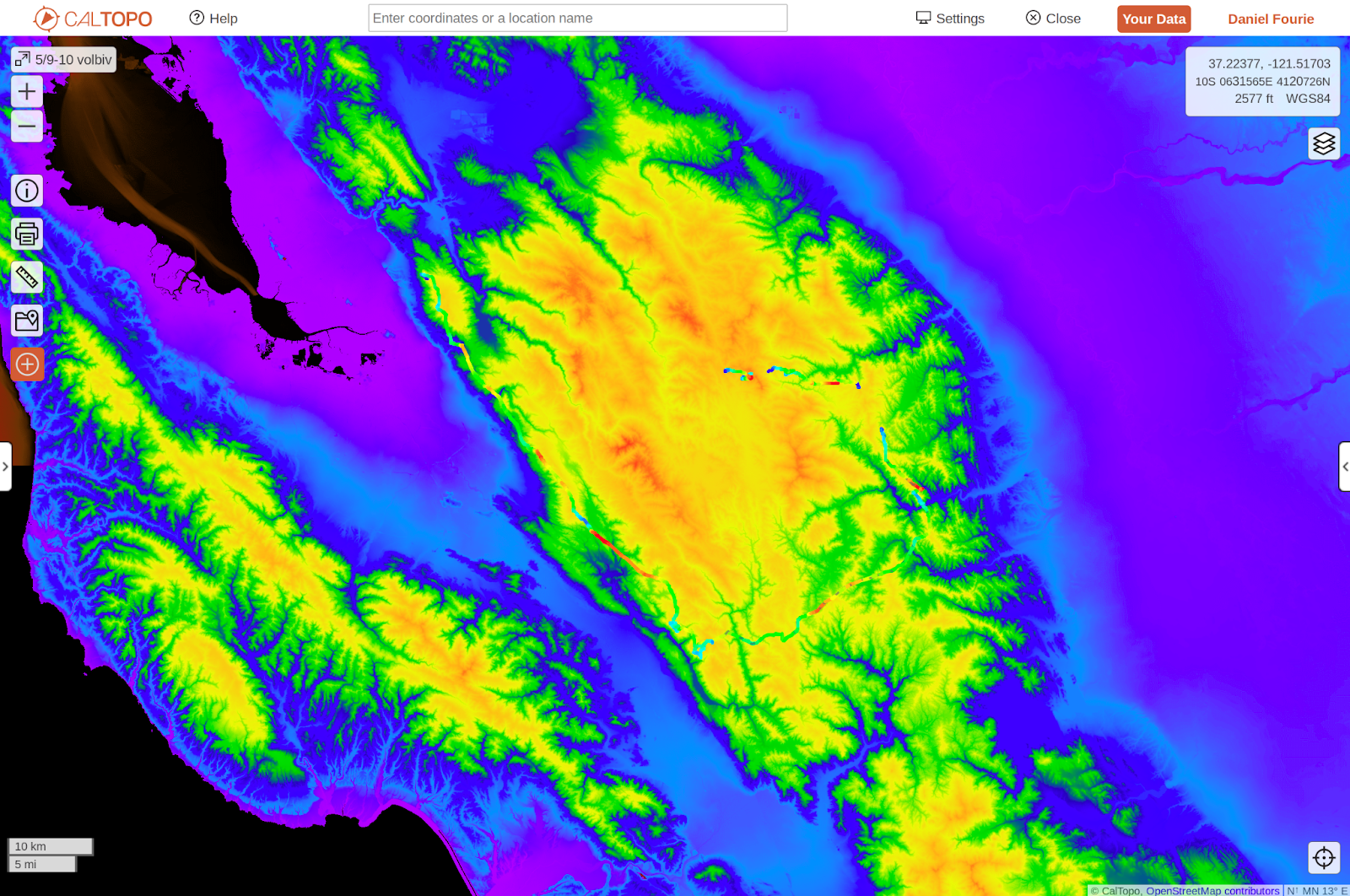
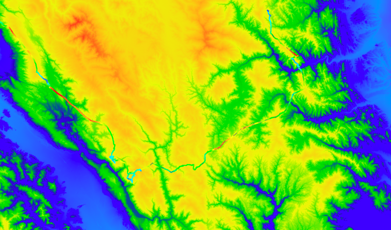
5/9-10 2022 volbiv - Mission to San Antonio Valley (via Henry Coe)


I’m thrilled this kind of volbiv adventure finally happened. This has been a long time coming! Lots of top landing and rough launch practice the last few years, advice from local pilots who are more experienced, some soft volbiv in the Alps last summer, Ben and I worked out our latest bivy systems a few weeks ago with a tour in Sunol Regional…


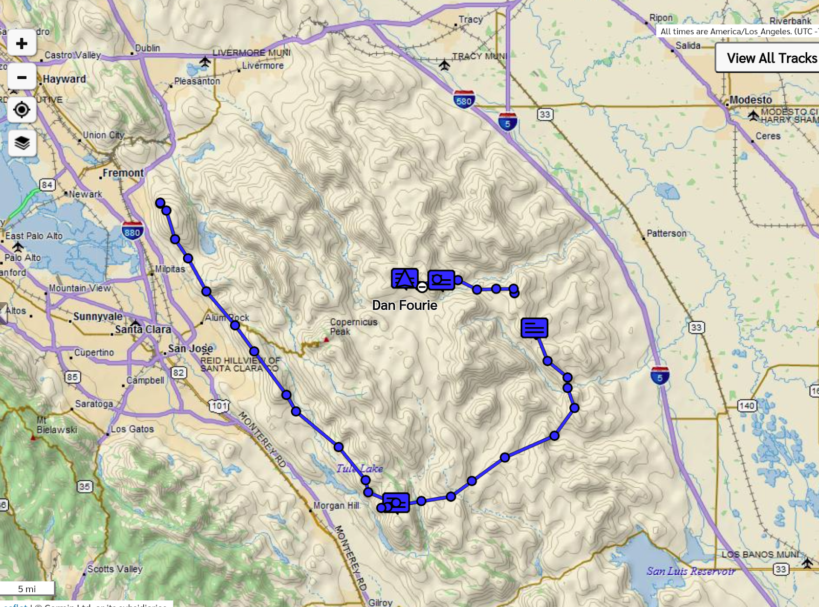
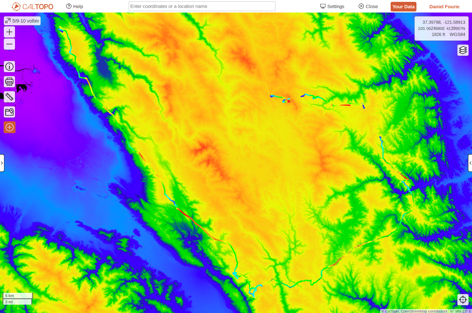
123km in the air, ~20km on the ground

Hamilton Range


https://photos.app.goo.gl/Rt9k127vh6wTpmLfA 

none while flying unfortunately… my hands were mostly too cold


5/9


8am. The forecast looks strong windy. I want to join the crew at Diablo, but I don’t think I will be able to make it early enough because I have a meeting at 9. I spend 40min of indecision looking at forecasts. My morning meeting cancels. Diablo still looks strong. It might back down as it does (it does), but I’m not relishing the idea of climbing out of there. And my goal this season is lots of OTB volbiv, so I bail for mission. Maybe it will be less windy. And Tuesday even better… maybe I can triangle. I grab my cheese and granola and tent. But I forget my sandwich.


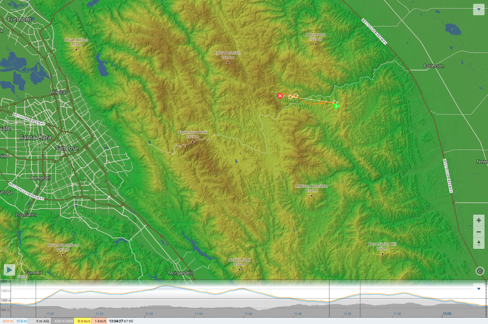
I take the express lane, pretending I’m 3 people. I hike fast. It looks so on. I pass George D. He has a pee tube question (it’s his first time)...I tell him don’t worry it’s just a little water. Crap, no sandwich. I launch low down and climb out. I’m over alum rock in 40min, noon. This is crazy. Cumies are amazing, and way out over the urban sprawl too. I clip RHV arispace (nvm, I forget it’s only 2kft). I keep an eye on the drop out over Almaden…it’s not moving fast. It’s so cold… the hardest part is pumping my arms and breathing to relax to maintain good circulation. Low past mt misery…i forget it’s important to go slower here. 5 up to cloudbase. Things are starting to OD south of me. Cloud aspect ratios near me are still ok. It looks good OTB (over the back). Here’s my chance.. I chicken out and push west instead. Sink of course. I feel more W wind. At least I make it to the W facing ridge. I can soar til the sun comes back. 25min. Back to cloudbase. It’s much lower now. I dont understand. I chicken out again and push south instead. Sink. I screw around and bomb out. The SW monterey flow is already pushing in. I didn’t update fast enough… should have chosen the SW face near me to die on. 


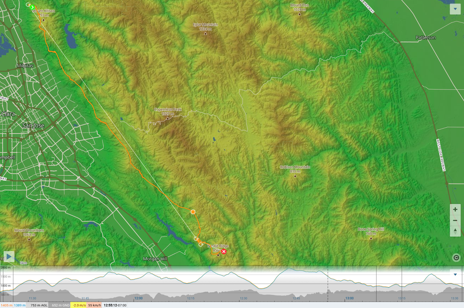
https://www.xcontest.org/world/en/flights/detail:danfourie/9.05.2022/18:21 

launched 11:21

landed 1:34

58k


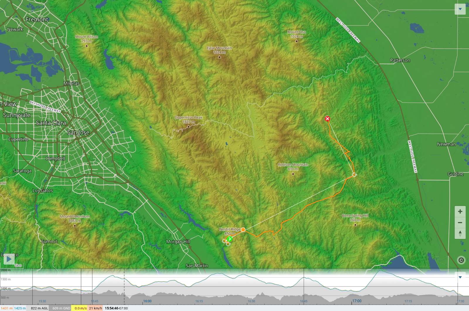
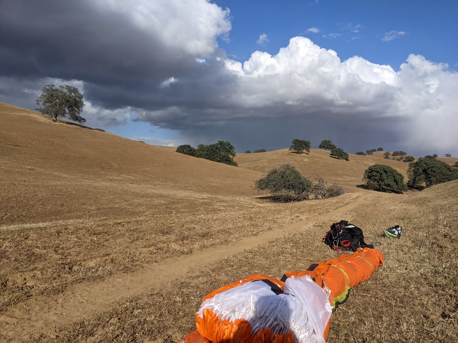
I’m glad to have a rest on the ground to warm up. Damn no sandwich. I nibble some cheese but I want carbs. I pack, check my maps that my intuition for relaunch is right, then hike for an hour to the SW face of Nesbit. 


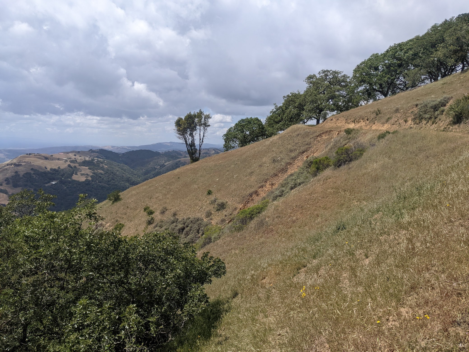
near the first relaunch (Nesbit peak). kinda right behind the proposed Coyote lake launch. 


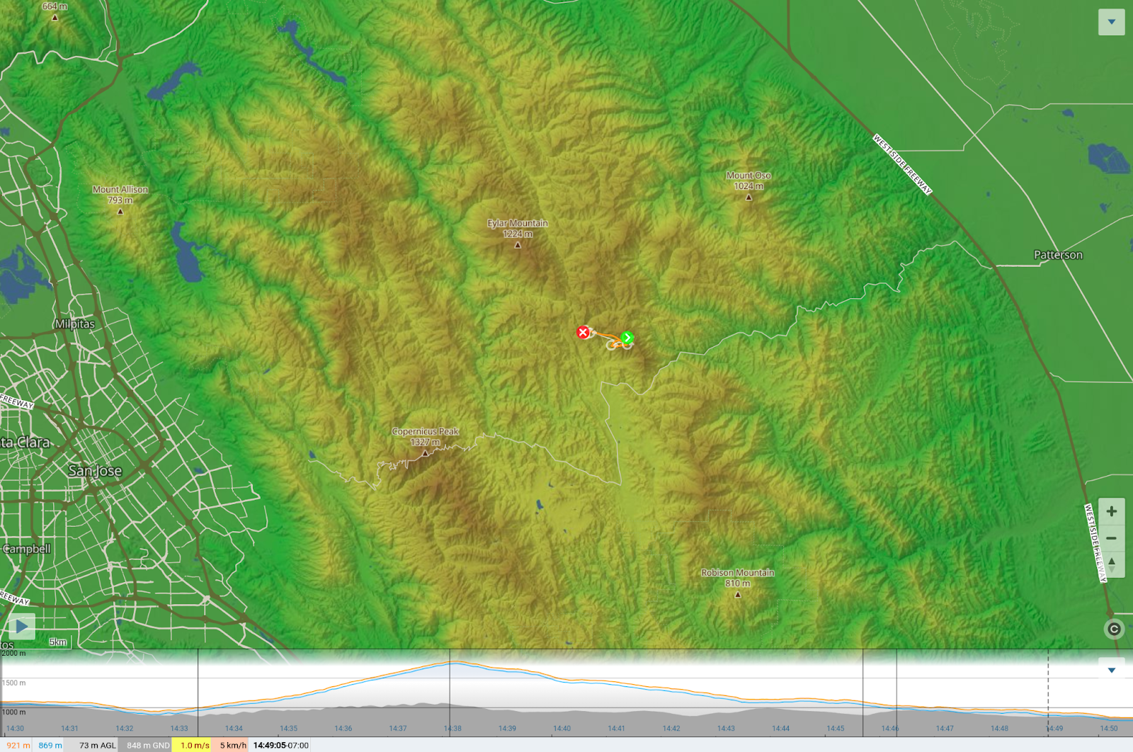
Easy launch. I work it for an half hour before finding my ticket to base. Third time’s the charm…I commit OTB. I push SE away from a cell, sinky, then I find a drifter. Lots of landing down there, but it’s low angle… I don’t see great relaunches. Cloud flying again. Feeling more confident as the terrain gets sharper. I can launch those. I’m so satisfied! I’d be happy to land anywhere now. Still getting high, cells over the central valley… let’s push north to start the loop back and make tomorrow easier. Whoops, didn’t account for the venturi in that canyon. I almost bail downwind, but stick to the plan and get rewarded…1200m in 16 circles…the 300ft hill in one 360. Slow NW push now, but this is all gravy. My solar vario thinks it’s dead even tho it’s got sun all day. Ok fine, time to land. Just below the steep E facing slope of Mike’s peak will do. 


https://www.xcontest.org/world/en/flights/detail:danfourie/9.05.2022/22:18 

launched 3:19

landed 5:34

46k


landed safe. I stretch my hip flexors for like 20min.


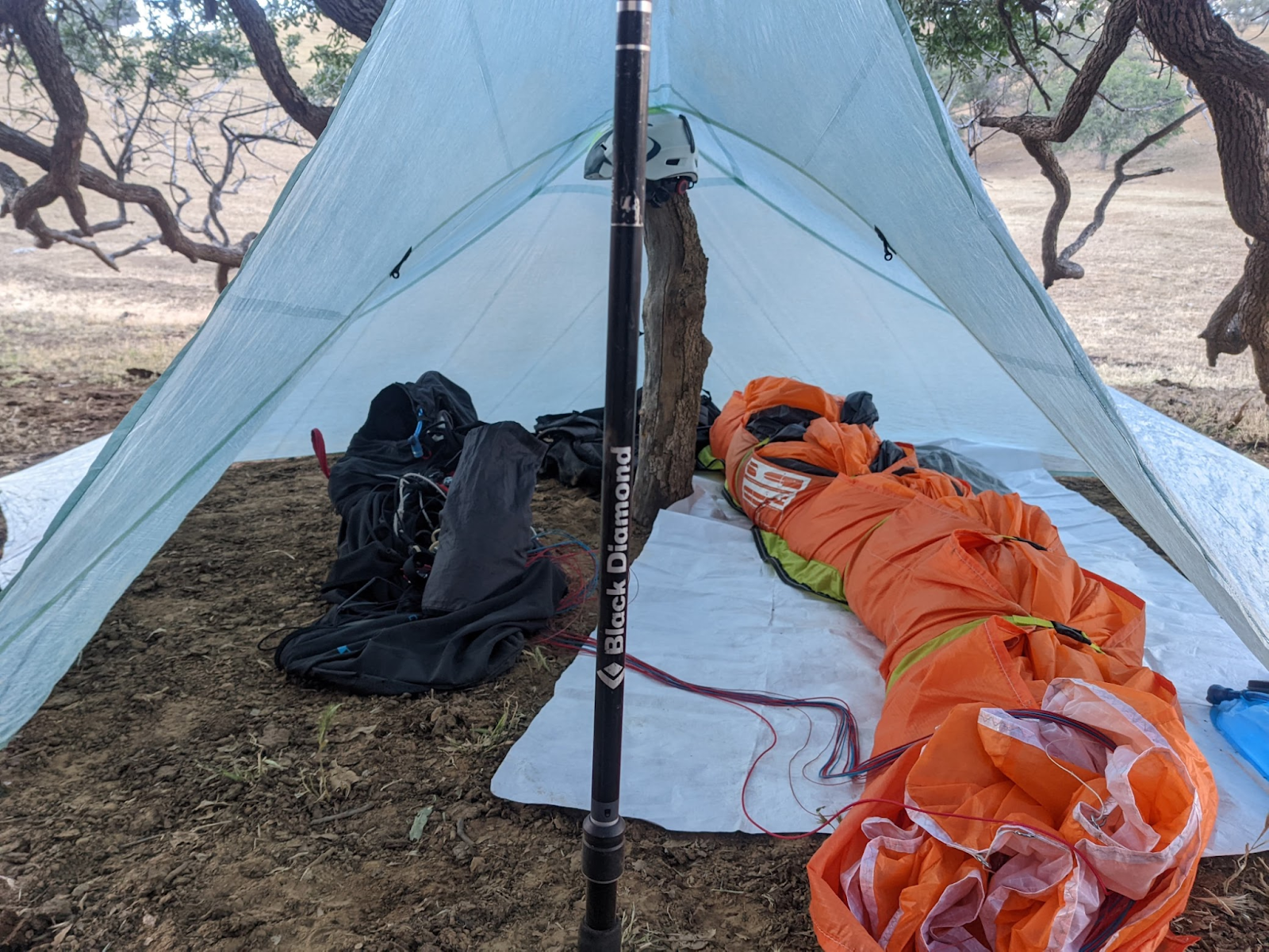
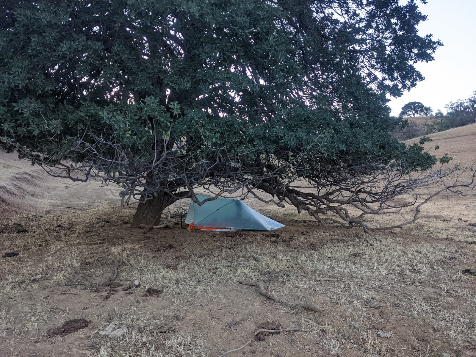
bivy. I take way too long perfecting my tent setup. The setting is perfect but the ground is annoyingly hard for my stakes.


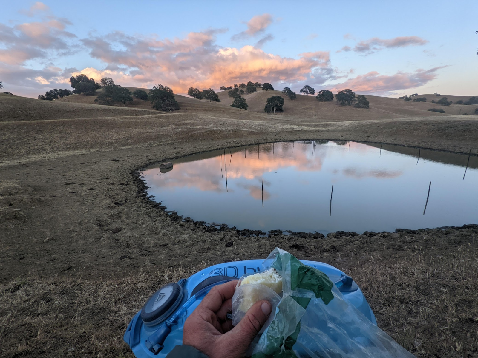
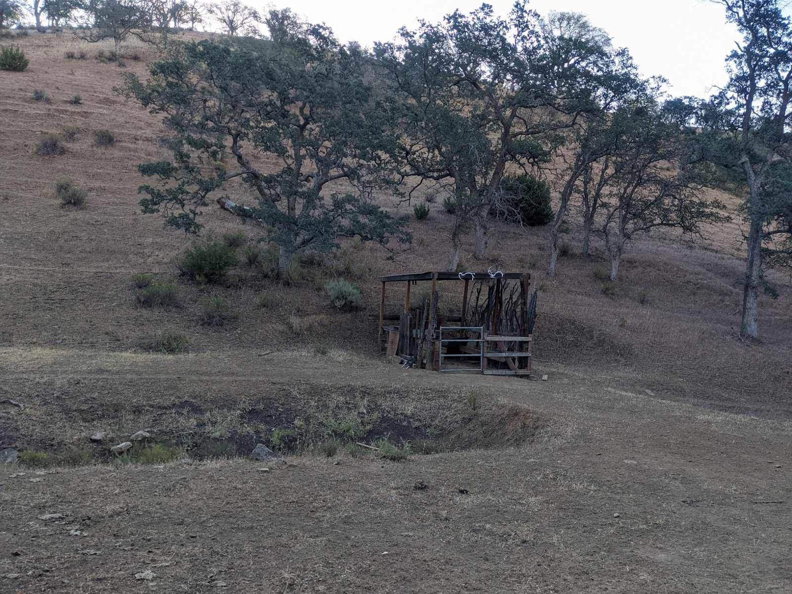
I drank half of my 3 liters today. Time to get water and eat. The cow pond is gross, but I scoop a couple liters. I’ll filter it tomorrow… best to postpone when I starting drinking that stuff. 

I study maps for an hour before sleeping. Reconsidering launches, I think I can walk pretty far before it turns on tomorrow. If all my options are unappealing when I get to them, I can probably get to the Del Puerto launch.


5/10


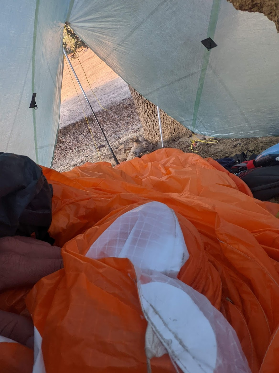
6:30am good morning! Wing as sleeping bag was some warmth at least, but needs more organization. Thankful for my thick pad… slept well. Rolling by 7. 


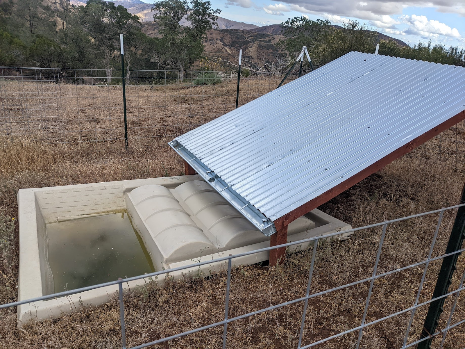
not all water troughs are collecting:


Hmm looks quiet..

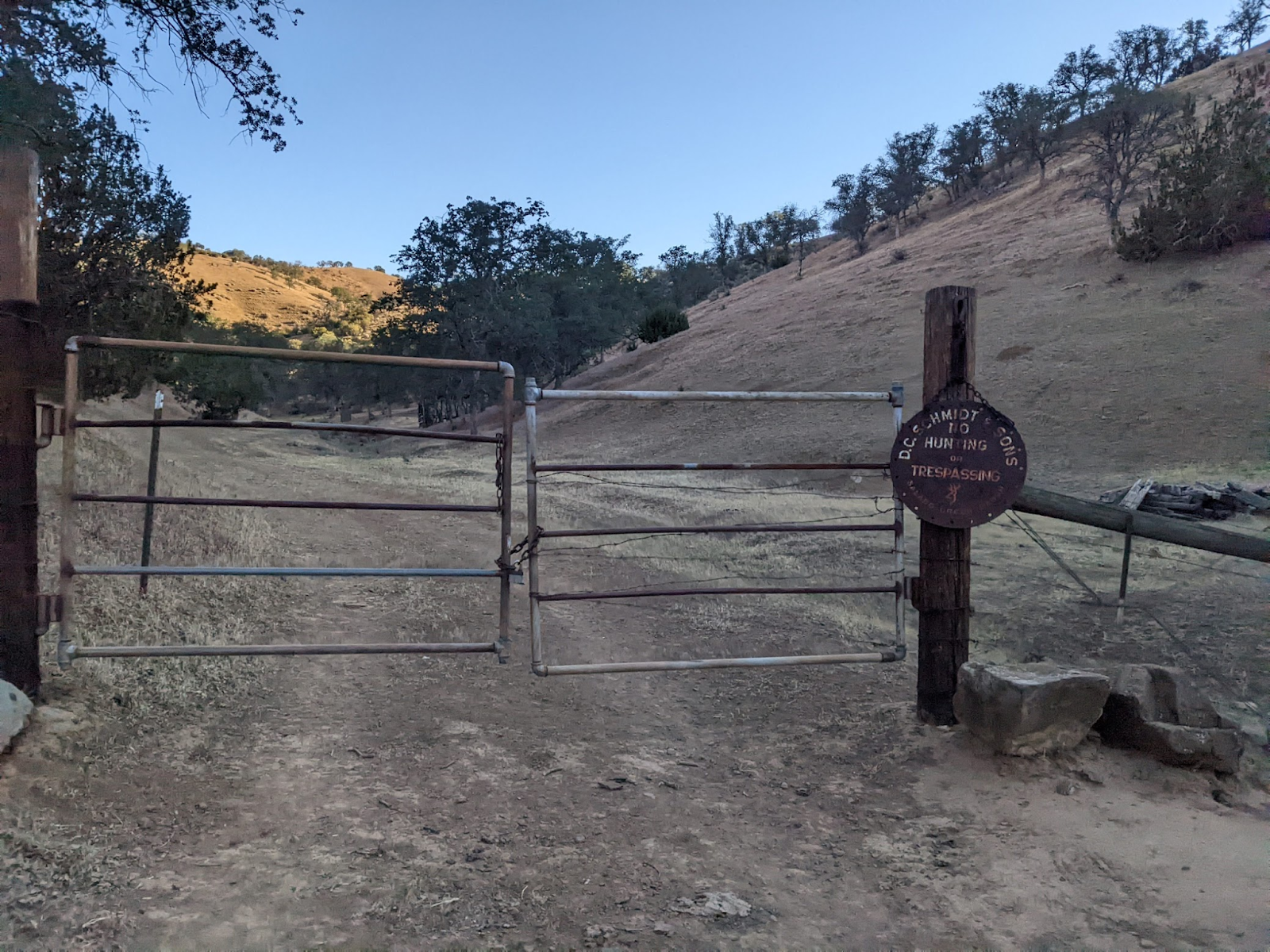
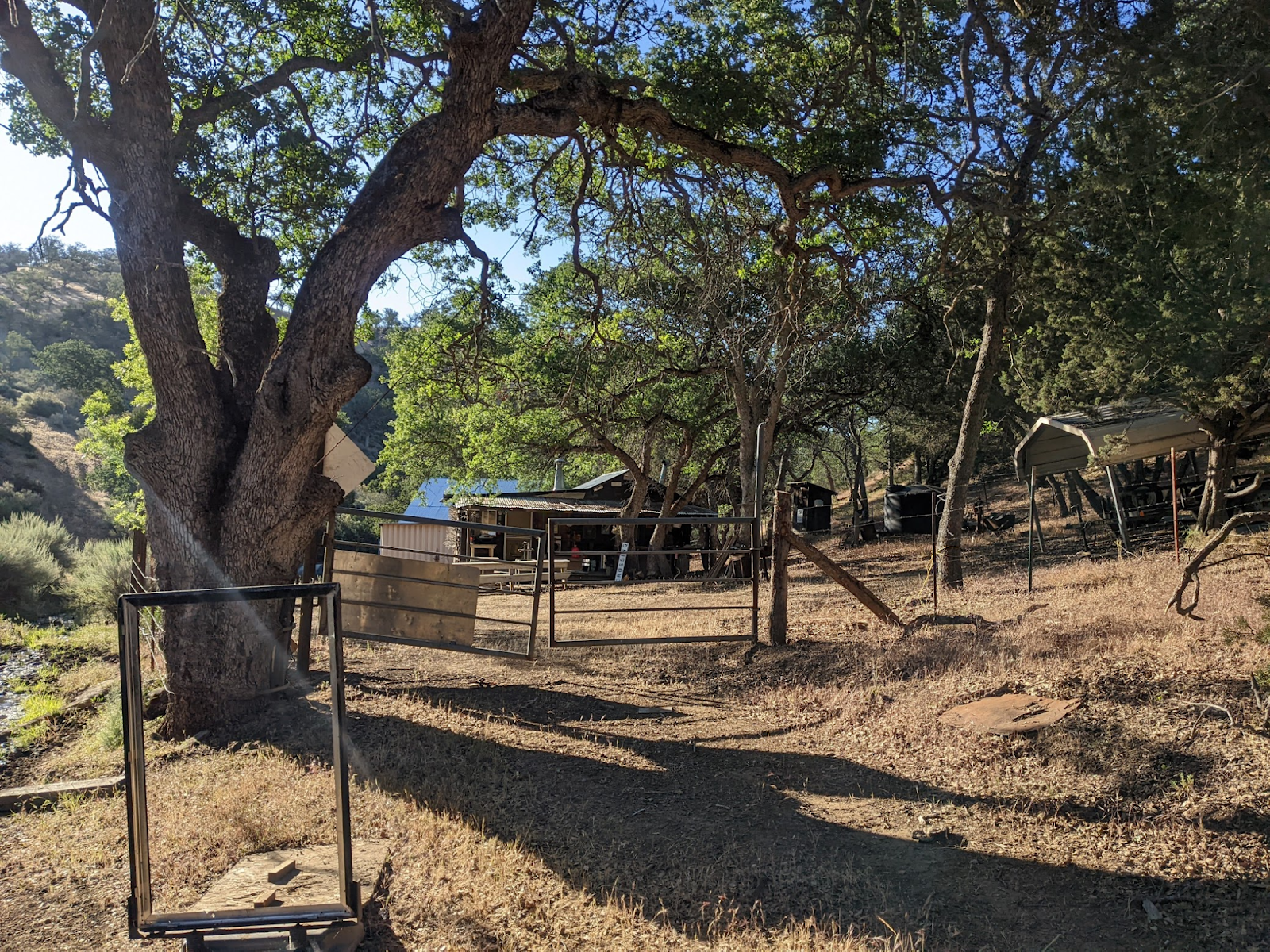
Shooting range. Bracing for an encounter.. 

Phew, all quiet. 


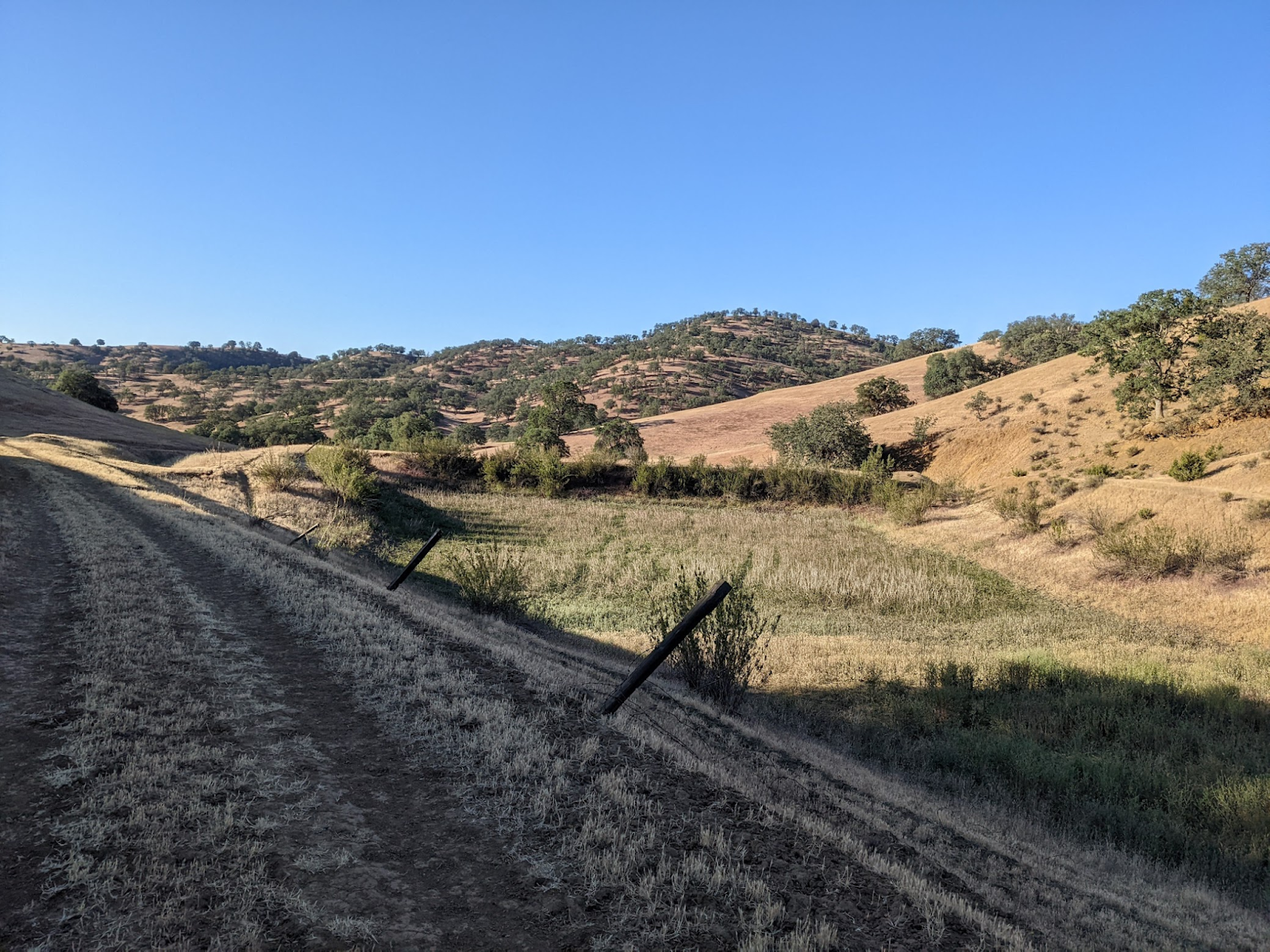
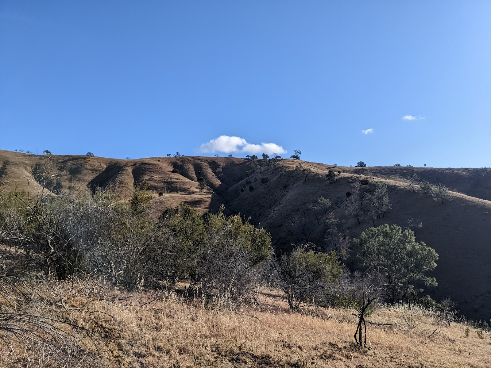
8am cumies. Hiking is pretty easy along road cuts.


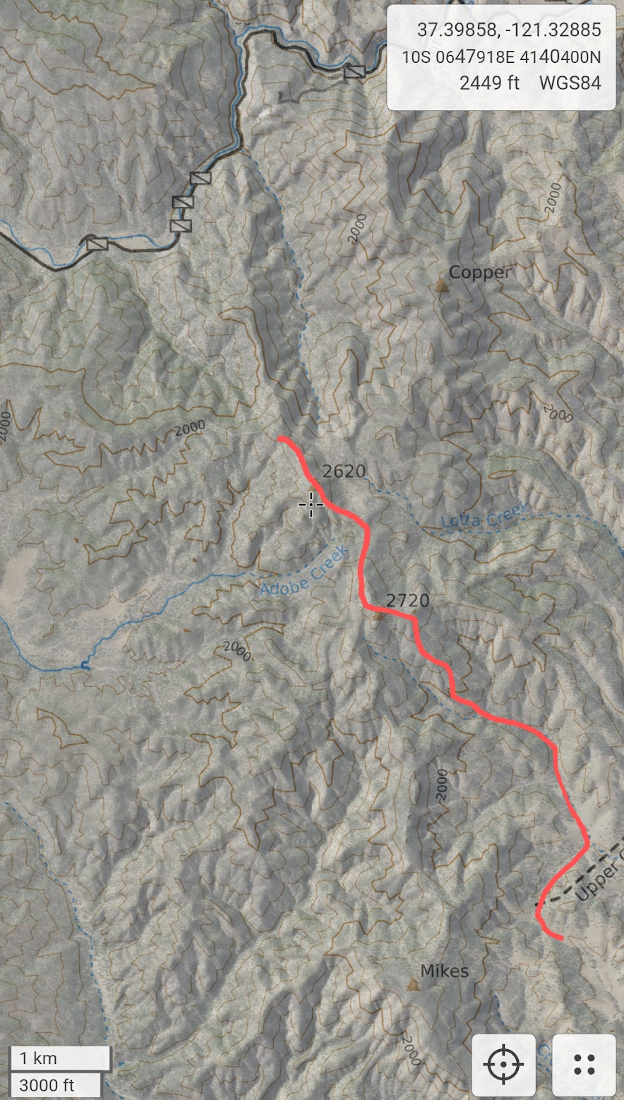
830am thick cumies! I’m at Peak 2720. 3-4 miles. I rest and eat breakfast. That’s the last of the food… have to get out today, which severely constrains options (what moves I’m willing to commit to).


9am.. thicker… hoping this is an early phase to the day that passes. I slow down. I was hoping for a launch here, but the E faces aren’t great and I’m feeling more W early. I push on. 


ridgecrest water collection, but fenced?


I take a use trail from 2720 to 2620. 1-2 miles. Now squall to windward. I do a quick pitch and huddle while it passes. 


1030am. That’s what we wanna see. Birds climbing out. 1km N along the ridge from Peak 2620. Perfect launch.. NW facing bowl and steep E face and nice glide out to the road. 


I hope to get up and push W as far as possible until the W wind picks up, then ride the Mines Rd valley north to Livermore, then W if possible that late. It looks good downwind into the central valley, but today was supposed to be lighter winds and I wanna take advantage of that to try for a circuit. I think about WSW to Hamilton along 130, but I think the landings are worse there (not true in retrospect), and I don’t think I’ll be able to push N after I get out to the Bay flow.


I end up launching E. 5-6m/s up to 1500m cloudbase at 11am! Smooth too. Only 5-10kph headwind from the NW. Feeling so good! Cells dropping out to my N and S but clear to windward. I get some super fine snow/hail for a couple minutes. I’m moving faster than expected. That’s good because I’ll make more progress before the West comes, but I tell myself it’s so early still, I can afford to go slower.


https://www.xcontest.org/world/en/flights/detail:danfourie/10.05.2022/18:15 

launched 11:15

landed 12:04

13k


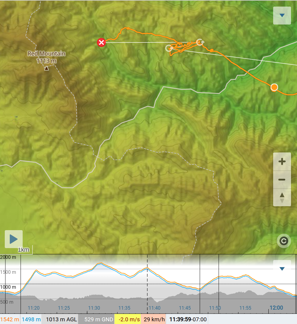
But I’m too excited and don’t pay enough attention and don’t take the time to think and I make a mistake. I go for the valley crossing because it looked temporarily sunnier over there and it was a shorter route. The safer bet was waiting high for sun, then going SW, hooking around Red mountain from the south. The W is suddenly super strong, probably venturi again, and a nasty climb. I think my problem is I need to get to the other side of Red, so I push into the wind and land in a burned patch on the backside where I see a trail up. In retrospect, pushing onto the ridge to my N might have worked, but I thought odds were pretty high I would land there anyways, so I decided to shorten the hike. 


Now I need to hike fast. I’m missing the best part of the day.


started hiking 12:25  2,080ft

reached peak at 1:23  3,630ft


steep old tractor fire trail:


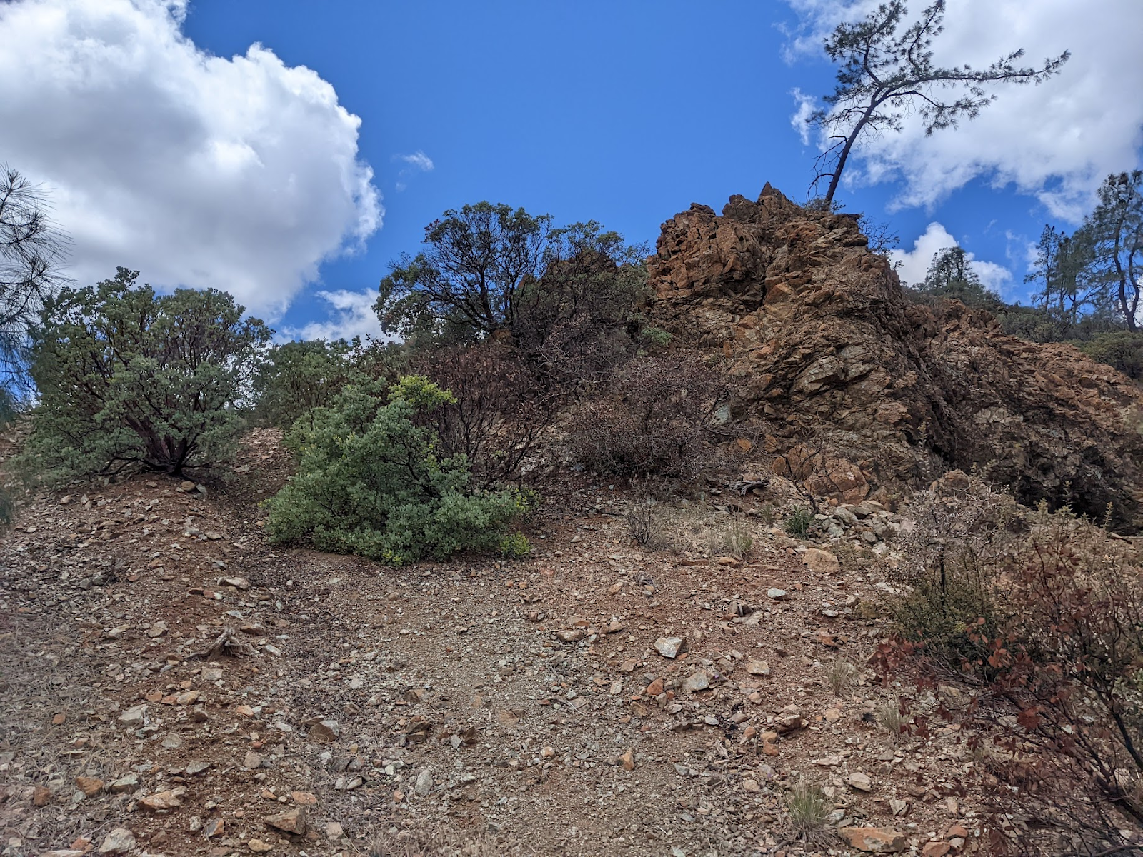
No great launches up here. It’s gently sloped at the top, and scrubby. I find an open rocky area that might work, but there are tall burned trees out front. Have to get the cycle right. It takes 50min to get away. I have to start with the wing carefully arranged so that my lines dont snag, but the cycles dont give me enough time and I get cravats because I cant let it fully open initially. I abort several launches. Lines get snagged on dead bushes. I’m getting frustrated. Maybe this is the lack of full dinner and breakfast catching up to me.


In the air, I get a solid 5 up, but the headwind is now 25kph. Progress is going to be so slow. I dont find the next climb where I expect it and things are so broken anyways, I have to be very picky. This is not fun anymore. Time for a safe landing. I get popped, but manage to avoid the tree. 


https://www.xcontest.org/world/en/flights/detail:danfourie/10.05.2022/21:29 

launched 2:30

landed 2:51

6km


I hear gates and a 4x4. Uh oh. They pull up. Sorry I’m on your property. Ah phew, just a father and son fencing contractors, Mike and Miles. They tell me the landowner would have flipped his shit, were he home. They were watching me thru binoculars. They’ve got a ranch in Del Puerto too. They’re going to Livermore… sweet! 


Lessons:

more food means I can commit


the road suck runs deep


still need to get better at awkward launches and landings


better gloves still (i thought spring season was over and the upgrade could wait)


still need to improve packing and setup speed


get better at cloud monitoring and lingering


Things that i tried that worked:


my filter worked on awful cattle pond water (i didnt get sick)


find launches that are grassy, steepish, facing into wind, and sun, and have decent bailouts, and a longish glide


downloaded MapBuilder Topo and Global Imagery layers on Caltopo were essential


nuun electrolyte tablets


https://caltopo.com/l/8EBN link to this cool logarithmic caltopo elevation shading my friend made